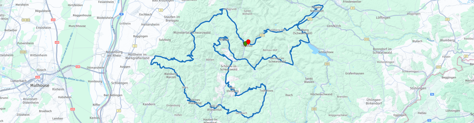
Rondreis Todtnau door het zwarte woud via Todtnau Badenweiler de Titisee en de Schluchsee

This route was brought to you by:
RouteXpert Stijn Claus
Last edit: 28-03-2019
 Route Summary
 The roads are mainly secondary roads. Most roads are of good quality.
 Share this route


Animation

Verdict


Duration
4h 24m

Mode of travel
Car or motorcycle

Distance
215.65 km

Countries

 RouteXpert Review
 The route then turns anti-clockwise. From Todtnau the route rises and falls to the historic city of Badenweiler, where we can visit the ruins of the Baden castle. The viewing platform offers a view over Badenweiler, east to the Black Forest and west to a panorama of the lower Müllheim, the Rhine plain and the Vosges.
This road then winds further between the various mountain peaks at an altitude between 800 and 1,000 meters above sea level.
The route takes us to the Schluchsee. This reservoir is the largest lake in the Black Forest. Before being dammed, the original Schluchsee was a glacier lake whose level was 30 meters lower than the current water level. The current dimensions are 7.3 km by 1.4 km with a maximum depth of 61 m. Supply and removal is done by the Schwarza. With a level of 930 m it is also the highest reservoir in Germany.
Not much further we find the Titisee. This lake extends over an area of 1.3 km² and has an average depth of 20 meters. The lake was created by the Feldberg glacier. The outflow of the lake, at 840 meters above sea level, is the Wutach River.
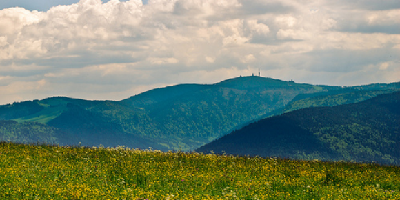
From the Titisee we rise to the Feldberg. The highest point in the Black Forest. The mountain is 1493 meters high. In clear weather it is possible to see the Alps in the south from the Feldberg.
Afterwards we descend back to Todtnau to end up at the hotel again.

 Links
Links  Usage
Usage Want to download this route?
You can download the route for free without MyRoute-app account. To do so, open the route and click 'save as'. Want to edit this route?
No problem, start by opening the route. Follow the tutorial and create your personal MyRoute-app account. After registration, your trial starts automatically.  Disclaimer
Use of this GPS route is at your own expense and risk. The route has been carefully composed and checked by a MyRoute-app accredited RouteXpert for use on TomTom, Garmin and MyRoute-app Navigation.
Changes may nevertheless have occurred due to changed circumstances, road diversions or seasonal closures. We therefore recommend checking each route before use.
Preferably use the route track in your navigation system. More information about the use of MyRoute-app can be found on the website under 'Community' or 'Academy'.